


Project Outline
The accurate evaluation of global warming effects on terrestrial ecosystems has serious consequences for the improvement of future climate change prediction. Terefore, computing the amount of terrestrial carbon exchange in a wide area at a high spatial resolution both at the national and regional level is urgently needed.
A joint research group of the National Institute for Environmental Studies and Nagoya University has been conducting monitoring and providing accurate data to better understand the mechanisms of carbon exchange and to improve the observation accuracy.
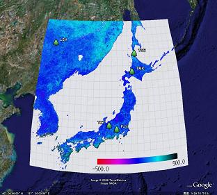
The aim of this project is to provide data on the local and country scale as basic data for the development of an action plan for the mitigation of global warming. Here, we provide regional quantities of carbon dioxide exchange by terrestrial ecosystems as map image data. We obtained these data by verifying methods to estimate terrestrial carbon exchange, using data from AsiaFlux (ground-based carbon, water and energy observation network) and then calculating global carbon exchange at 1km resolution.
Please see References for more information on the project and data.
Access to Data
Go to Map Image Gallery. View data on Online Google Earth. Map image data are available at Download KMZ file

