

About this site
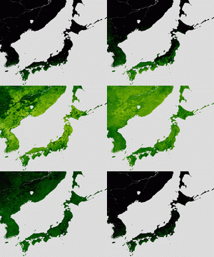
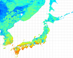
Here, we provide an overview of the current regional patterns of carbon balance by terrestrial ecosystems as map image data. The data are obtained by integrating ground-based and satellite observation data with model simulation, and can be downloaded from this web site.
-
See "Project Outline" for more information on the research project.
-
Map image data displayed in Google Earth can be downloaded by clicking on "Download".
-
Samples of Google Earth can be viewed at "Online Google Earth", and map image data are available in "Image Gallery".
 |
2020/6/25 |
This project website was ended. |
 |
2012/11/28 |
The homepage of Terrestrial ecosystem carbon balance data open! Data 2001-2006 are currently available, and will be updated in the future. |


