How to Use
Submission
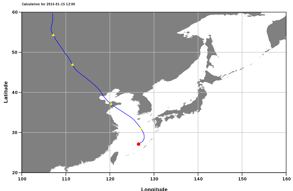
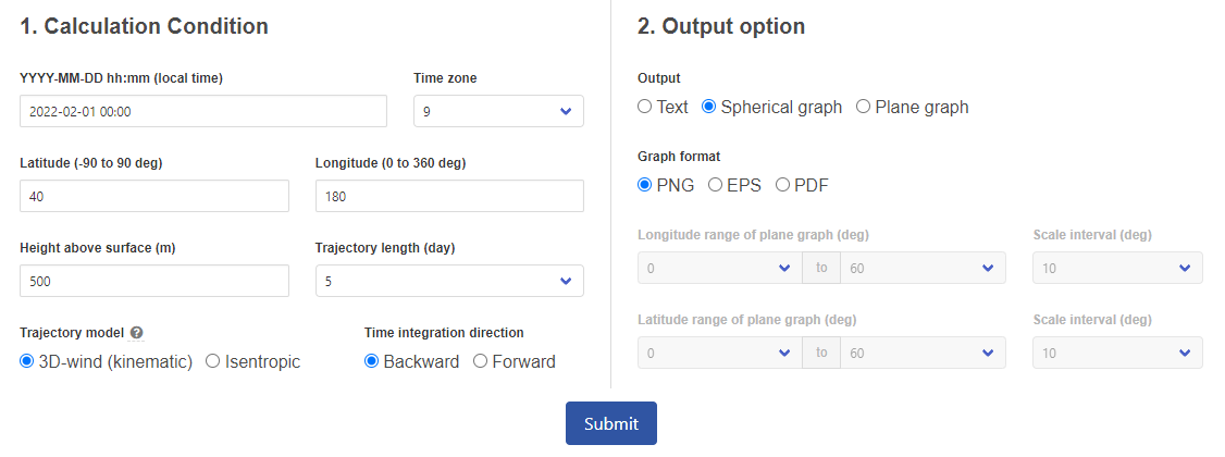
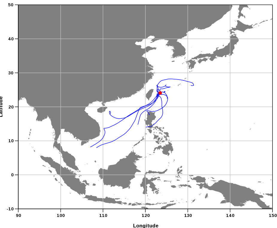
・Single trajectory
You can calculate a single trajectory by specifying the initial time, location (latitude, longitude) and height, trajectory length, trajectory model, and direction of time integration.
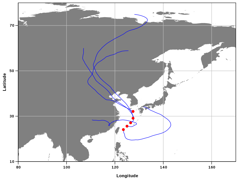
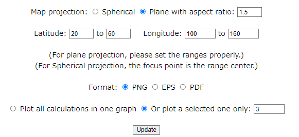
The output can be a map image or text file (CSV format).
No user registration is required for submission of this calculation.
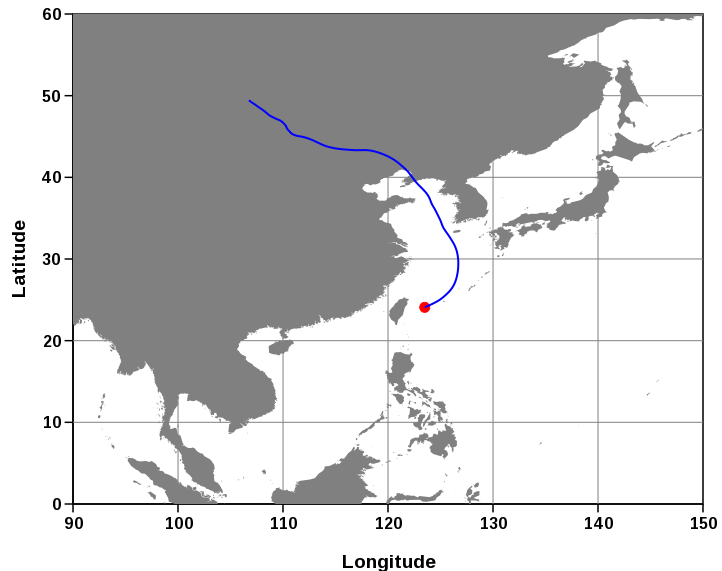
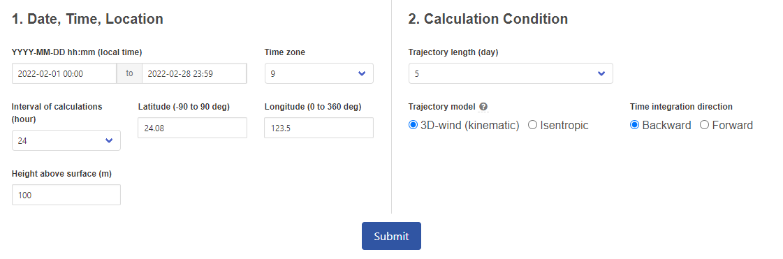
・Trajectories for a Fixed Point
You can calculate multiple trajectories for a fixed point at a given interval by specifying the calculation period, initial location (latitude, longitude) and height, calculation interval, trajectory length, trajectory model, and direction of time integration. This is useful for calculating trajectories that have passed over a fixed observation point during a specific period.
*User registration is required for submission of this calculation.
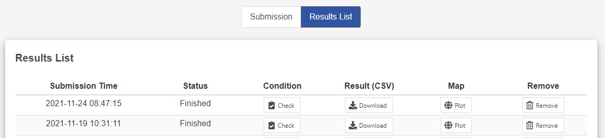
You can manage your calculated results. The results can be projected on a map and downloaded in CSV format.
・Trajectories for Multiple Points
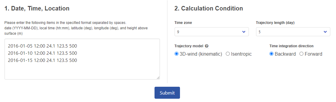
You can calculate trajectories for multiple points at any time by specifying multiple initial times, location (latitude, longitude) and height, trajectory length, trajectory model, and direction of time integration. This is useful for calculating trajectories that pass over mobile observation platforms such as ships or aircrafts, or for calculating trajectories at arbitrary intervals.
*User registration is required for submission of this calculation.
You can manage your calculated results. The results can be projected on a map and downloaded in CSV format.