

Cape Ochiishi Station
Cape Ochishi is a small cape located at the base of the Nemuro Peninsula in eastern Hokkaido, surrounded by sheer cliffs. In the center of the cape, there is the Ochiishi Marsh and the southernmost native habitat of the Sakai azalea, a natural monument. Most of the cape is designated as a nature conservation area.
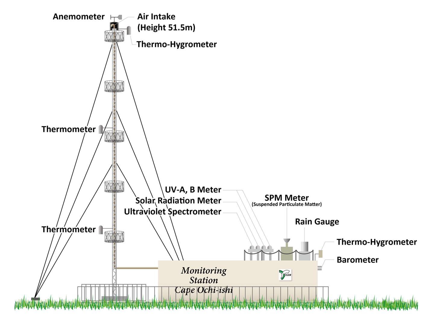
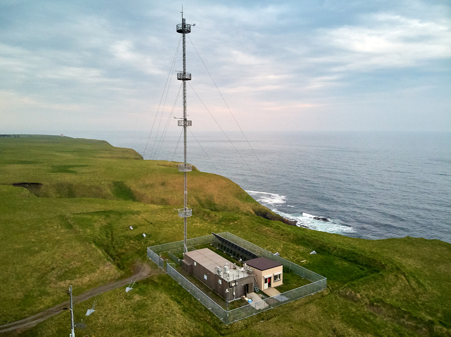
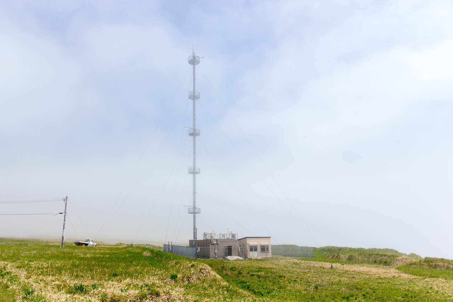
The monitoring station is located at the southern end of the cape, on a cliff 42 meters above sea level. There is a Ochiishi fishing port and residential area at the base of the cape. Since the station is about 2 km away from those area and the air samples are taken from about 50 m above the ground level on the observation tower, they have almost no local anthropogenic influence on the observation.
Station Exterior
| Location | 243-2, Ochiishi nishi, Nemuro, Hokkaido |
|---|---|
| Latitude | 43° 9' 37" N |
| Longitude | 145° 29' 51" E |
| Above sea level | approx. 42 m |
| Laying area | 3,900 m2 (private land borrowed) |
| Observation building construction | Single-story building constructed with aluminum panels |
| Floor area | 83.4 m2 |
| Tower height | 52.5 m |
| Structure | Steel frame supported by guy wires |
| Air intake height | 51.5 m |
| Completed | March 1994 (Observation started in Oct 1995) |
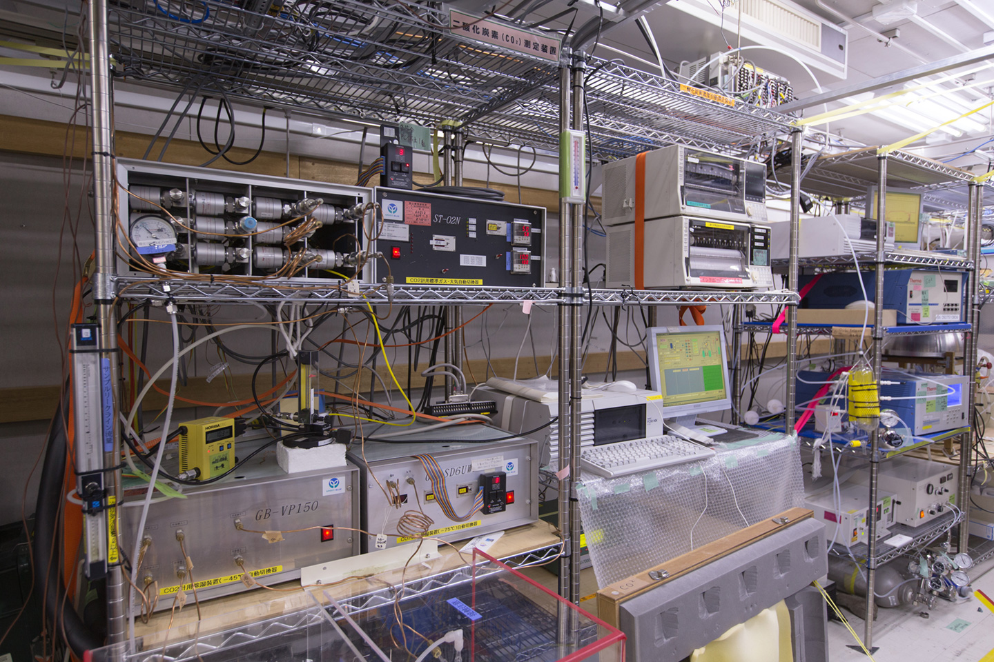
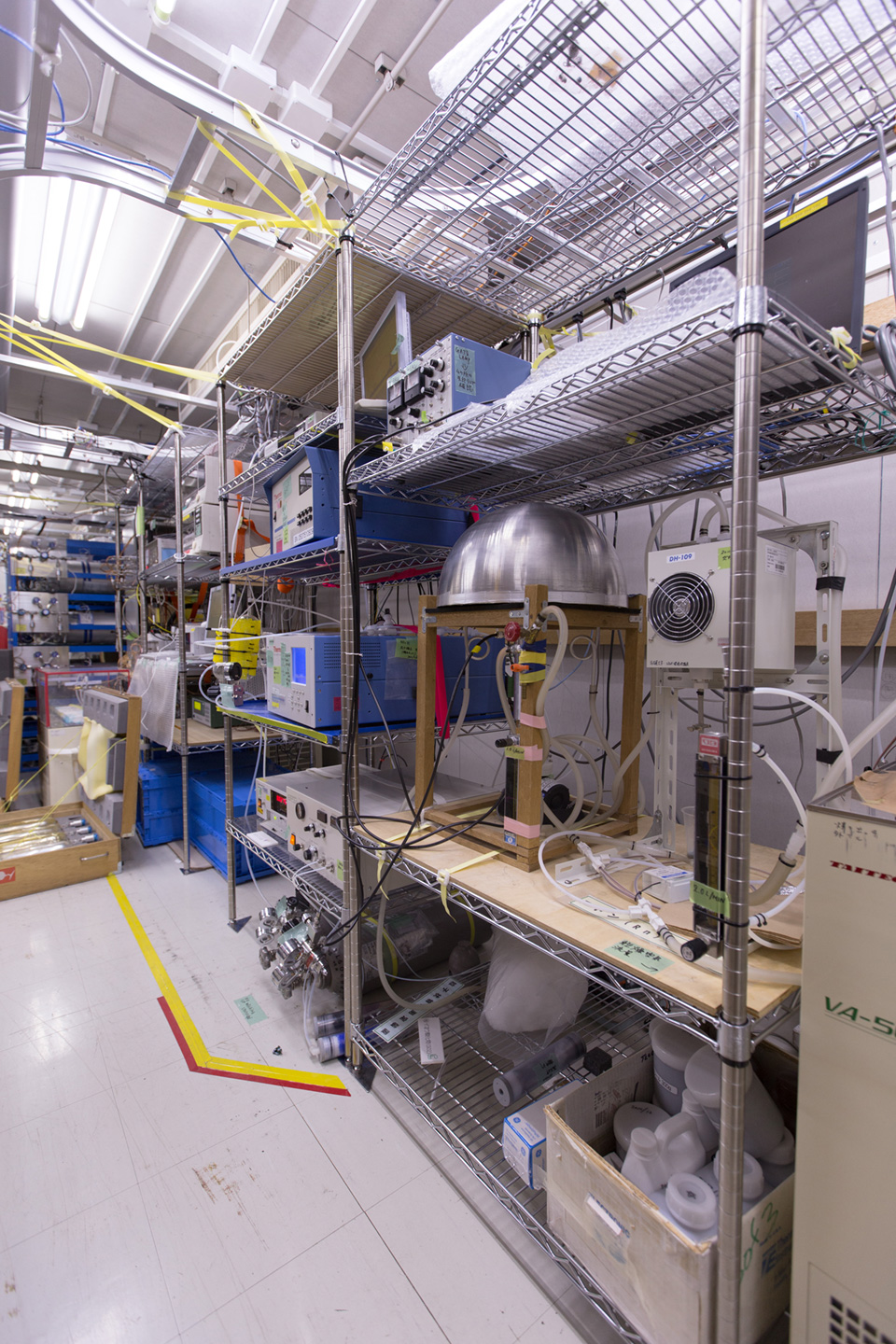
| Observation target | Baseline concentrations of GHGs and atmospheric trace substances in the northern part of Japan |
| #GAW No. | GAW#COI243N00 |
Layout of Cape Ochiishi Station
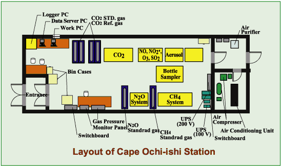
Photo Gallary
(Click image for larger view)
Latest Observation Results
- CO2 Trend in Cape Ochiishi (Preliminary)